Our Mission
What we're about
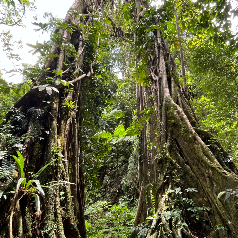
The Great Isles Initiative aims to strengthen biodiversity conservation in St. Lucia by connecting science, education, and community engagement.
Through innovative approaches, hands-on learning and citizen science we aim to support long-term, locally grounded conservation efforts across ecosystems.
Conservation
• Explore community-based and citizen science approaches to support biodiversity monitoring
• Develop concepts for collecting and analysing ecological data
• Contribute to a better understanding of pressures on ecosystems, such as habitat degradations
Education
• Promote awareness of biodiversity and its ecological importance
• Create opportunities for young people and communities to engage with their natural environment
• Encourage respectful interactions with wildlife among visitors
Data-Driven Conservation
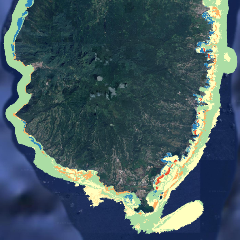
Remote Sensing and Spatial Analysis
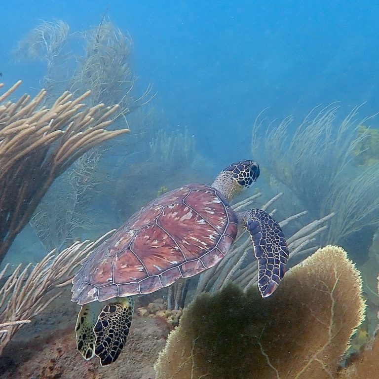
Emerging technologies like satellite imagery, drones, and underwater photography are opening new ways to see and understand ecosystems such as coral reefs, helping us identify areas most at risk.
By combining technological insights with on-the-ground observations, we can streamline monitoring, detect early warning signs, and target conservation and restoration efforts where they matter most.
From satellite imagery to 3D reef models, we incorporate technology to understand and protect ecosystems.
Remote Sensing
Data collected from satellites and sensors allows to get a broader picture of the environments we work in. Landscapes, ecosystems, and human impacts can be monitored over time. Combining this information with geospatial analysis helps us detect trends, understand patterns, and make informed, sustainable decisions.
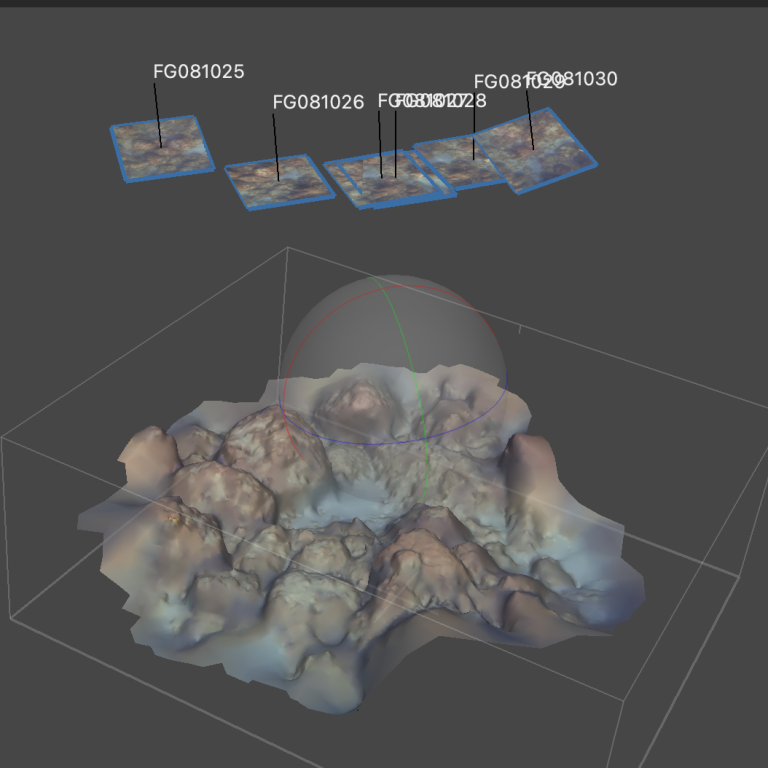
Photography & Mapping
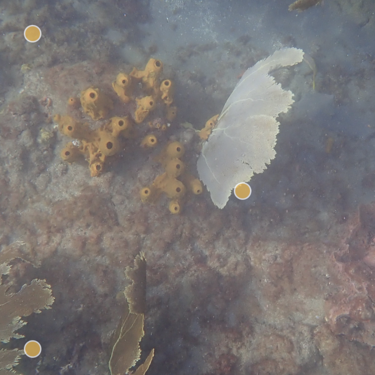
Using photos and videos to map habitats, such as coral reefs, provides new perspectives on ecological monitoring that would otherwise be time- and resource-intensive. Large datasets can be collected quickly, and innovative technologies now allow highly precise 3D mapping of these habitats.
Machine Learning
Machine learning and artificial intelligence provide cutting-edge methods to analyze large ecological datasets. Traditional approaches are often time-consuming and less precise, while carefully trained algorithms enable fast, efficient, and highly accurate habitat analysis. Using photos and videos of coral reefs, we can detect patterns and monitor ecosystems effectively.